
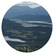
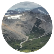
The Nechako River Watershed
Our research seeks to improve understanding of interactions between climate, landscape, human activities and hydrological processes in the watershed of the Nechako River, in north-western British Columbia, Canada.
'Nechako' is an anglicization of netja koh, meaning 'Big River' in the language of the Dakelh or Carrier indigenous nations, whose traditional and unceded territories span much of the region.
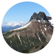
Rising from sources in the Coast Mountains, the Nechako's main stem flows over 600 km, crossing part of the Interior Plateau before joining the Fraser River at Prince George. Together with the Stuart River (15,600 km2), which it meets downstream of Vanderhoof, it drains a watershed covering in excess of 47,200 km2, amounting to approximately 5% of BC's land area.
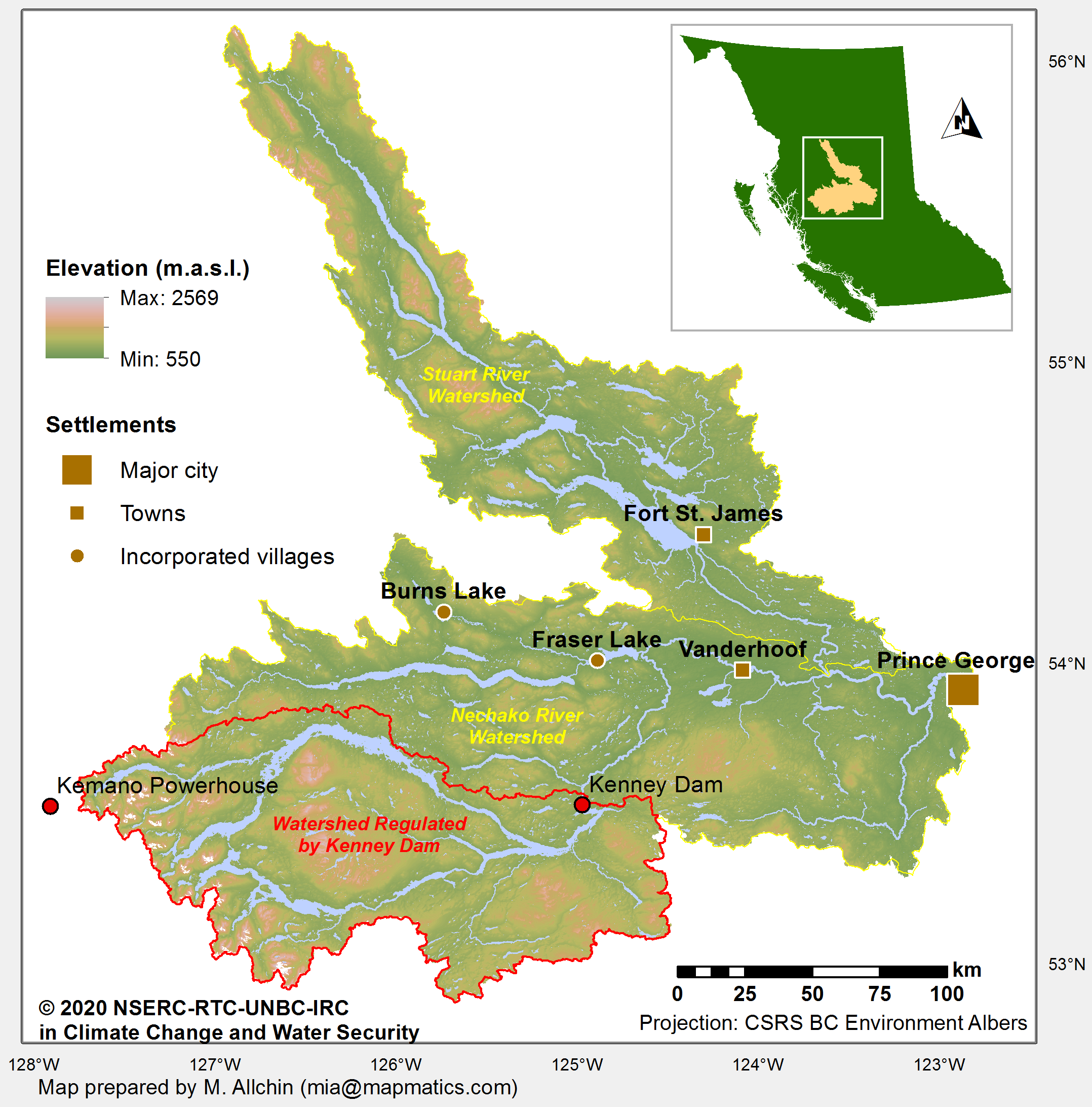
The Nechako Watershed (click for larger version)
Map prepared by
M. Allchin (mouseover for e-mail address)
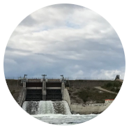
In the early 1950s, the governments of Canada and British Columbia sought to develop aluminum production in the province. This depended on a large, reliable and inexpensive source of electrical power. The production site was chosen at Kitimat, at the head of a fjord running inland from the coast, to the west of the Nechako's headwaters. The power was to be generated by a hydro-electric generating station at Kemano, over 70 km to the south-east. This would be served by water flowing through a 16-km-long penstock tunnel excavated through the Coast Mountains from a new reservoir, formed by damming the upper Nechako.
When it became operational in 1954, the Kenney Dam was the largest rock-fill dam in the world, at 457 m in width and 97 m in height. This impoundment resulted in the artificial regulation of flows emanating from the upper 14,091 km2 of the Nechako watershed, covering ~45% of the total watershed area above its confluence with the Stuart River. The consequent creation of the Nechako or Ootsa Lake Reservoir displaced at short notice the Cheslatta T'En people, of the Carrier or Dekelh First Nation, from their traditional settlements and territories in this region.
Prior and continuing research by the Nechako River Basin Research Program at UNBC has explored how the impoundment and associated water-management activities have influenced the watershed's dynamics, focusing on river-flows and sediment transfers, and their geomorphological and ecological impacts. Insights from these studies helped to guide the initiation of this NSERC - Rio Tinto Industrial Research Chair.