GUATEMALA - MAY 2008
May 13 - San Miguel Ixtahuacán to Comitancillo
Today is our on-site guided tour of the Marlin mine, situated in the municipalities of
San Miguel Ixtahuacán and Sipacappa.
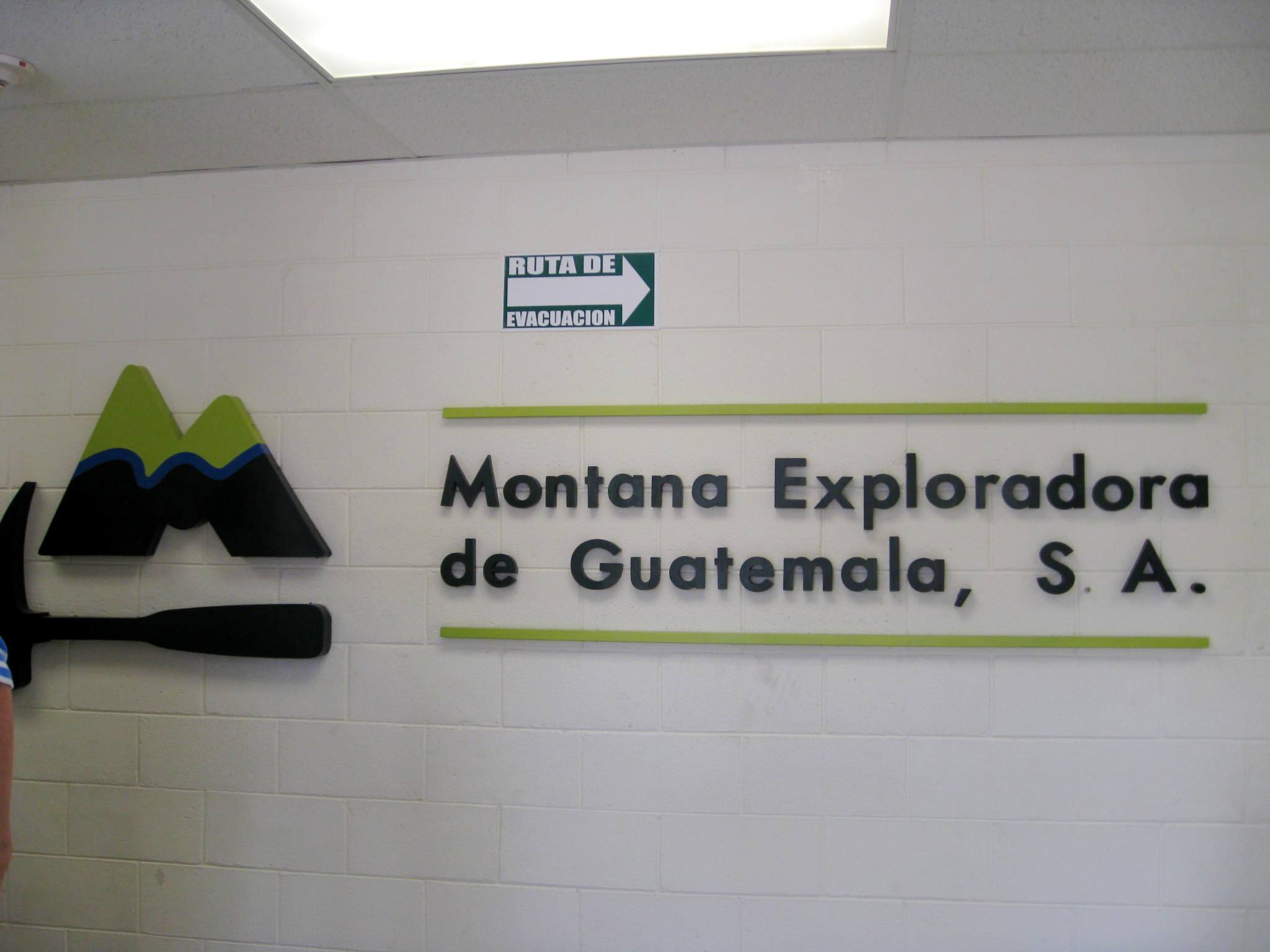
The Marlin mine is owned by Montana Exploradora, a wholly owned subsidiary of
Goldcorp, a Canadian mining company. This mine began commercial production
in December of 2005. As of the beginning of 2008, the mine has processed 2,977,000 tons of ore to recover 15.6 tons of gold and
264.3 tons of silver. Thus, 1 ton of marketable material is recovered out of every 10,635 tons of processed ore.
This scale of destruction is apparently typical of conventional mining systems. The Marlin mine is expected to continue operations in this location through to 2015.
(Photo credit: Catherine Nolin)
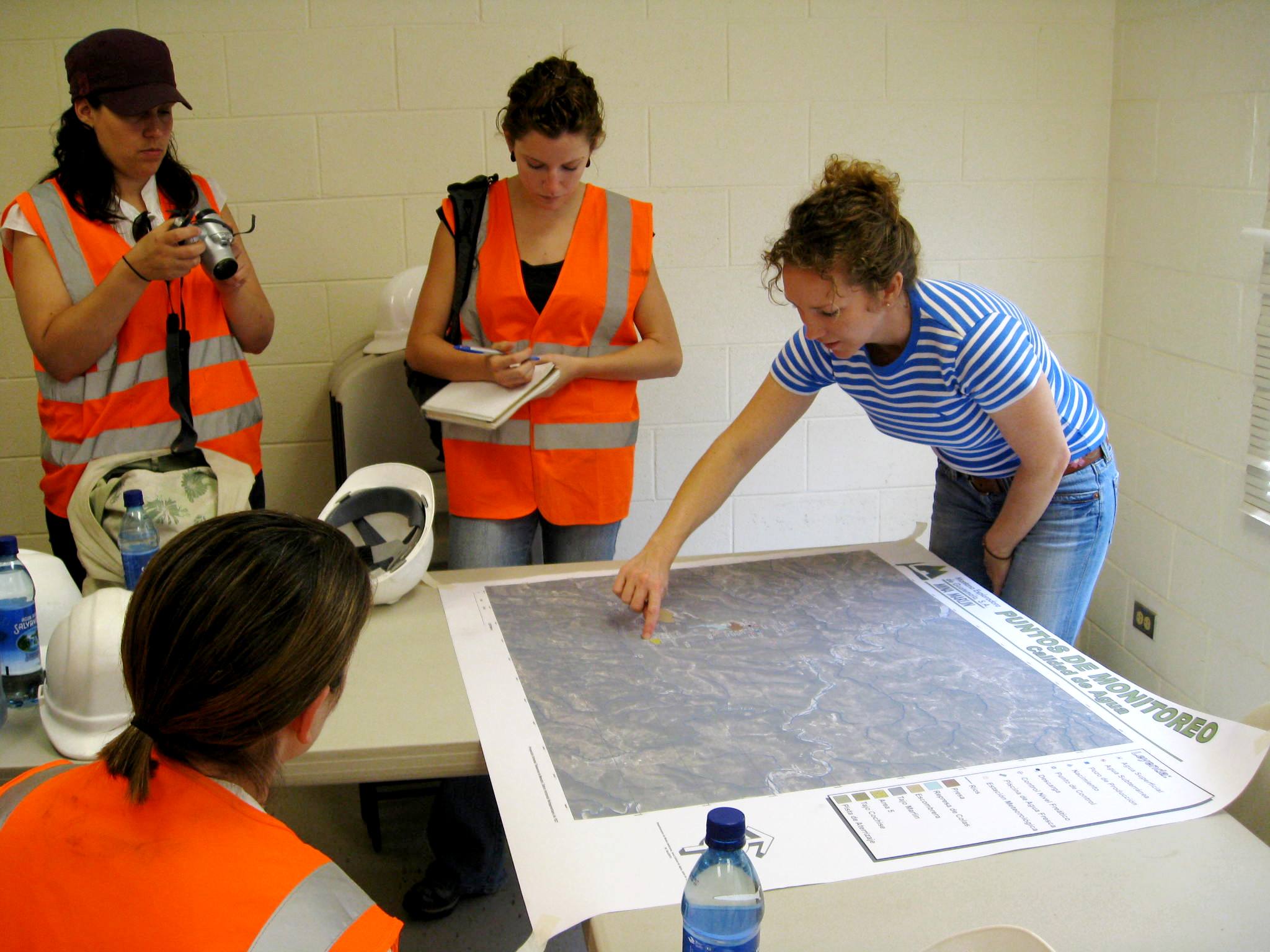
Our tour was lead by American Lisa Wade, the Regional Environmental Director of Montana Exploradora and principle designer of the Marlin mine. In the company's main office at the mine site,
Lisa described the location of the mine and explains that it has both open pit and underground operations.
(Photo credit: JP Laplante)
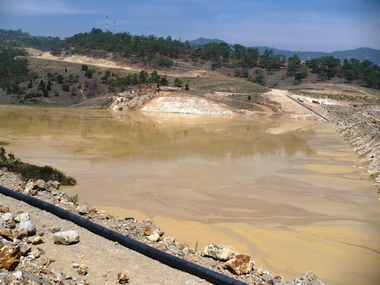
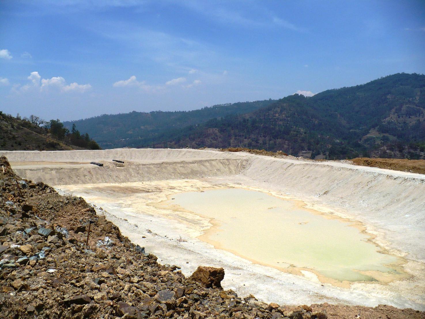
Our first up close view of the tailings pond. The extracted ore from this mine is processed by adding cyanide to it, which leaches out the precious metals (Gold and Silver), the remaining ore is referred to as slag. The slag is sent here to settle. The addition of cyanide is not unique to this mine, as it is used in the vast majority of gold/silver mines worldwide. Thus what we are looking at here is a lake of water, rock, and cyanide, baking in the Guatemalan sun. Lisa assured us that the very little cyanide remains in these tailings as the material has been cleaned in a INCO SO2 process. She claims that the water initially has 200 parts per million (ppm) of cyanide, but after processing this has been reduced to 4 ppm. The quality of water in this pond seems questionable as the mine still feels the need to be building a waste treatment plant which will filter out the remaining cyanide and heavy metals, also in this water, before releasing it.
I asked Lisa what the parent material was that the tailings pond sat upon.
She explains that the base material of the tailing ponds is kaolinite (a dense white aluminum-hydroxide clay) sitting on bedrock, which she
states is essentially impermeable (permeability is 1 * 10^-8 cm/s) to water. I asked her why not put down a completely impermeable membrane and she explains
that the existence of the kaolinite and bedrock makes it unnecessary. She further adds that they are in the process of creating a $6
million dollar treatment plant. However, the properties that make kaolinite resistant to permeation (essentially a high
binding capacity and tiny pore size) also makes treatment of it quite difficult
(see link here). While I do not doubt they
have extensive experience with these types of operations, I am hopeful that the treatment will be effective enough to ensure the
safety of the nearby water supplies, and that the bedrock is continuous without fissures or cracks.
(Photo credit: JP Laplante)
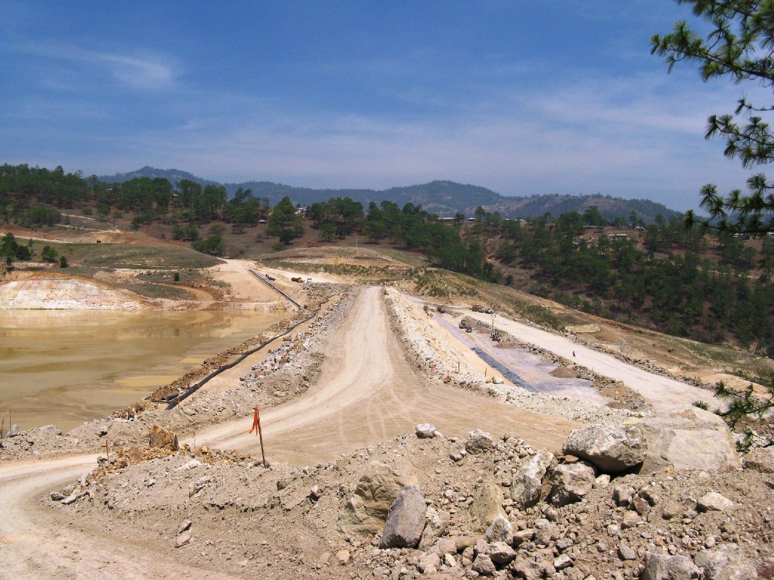
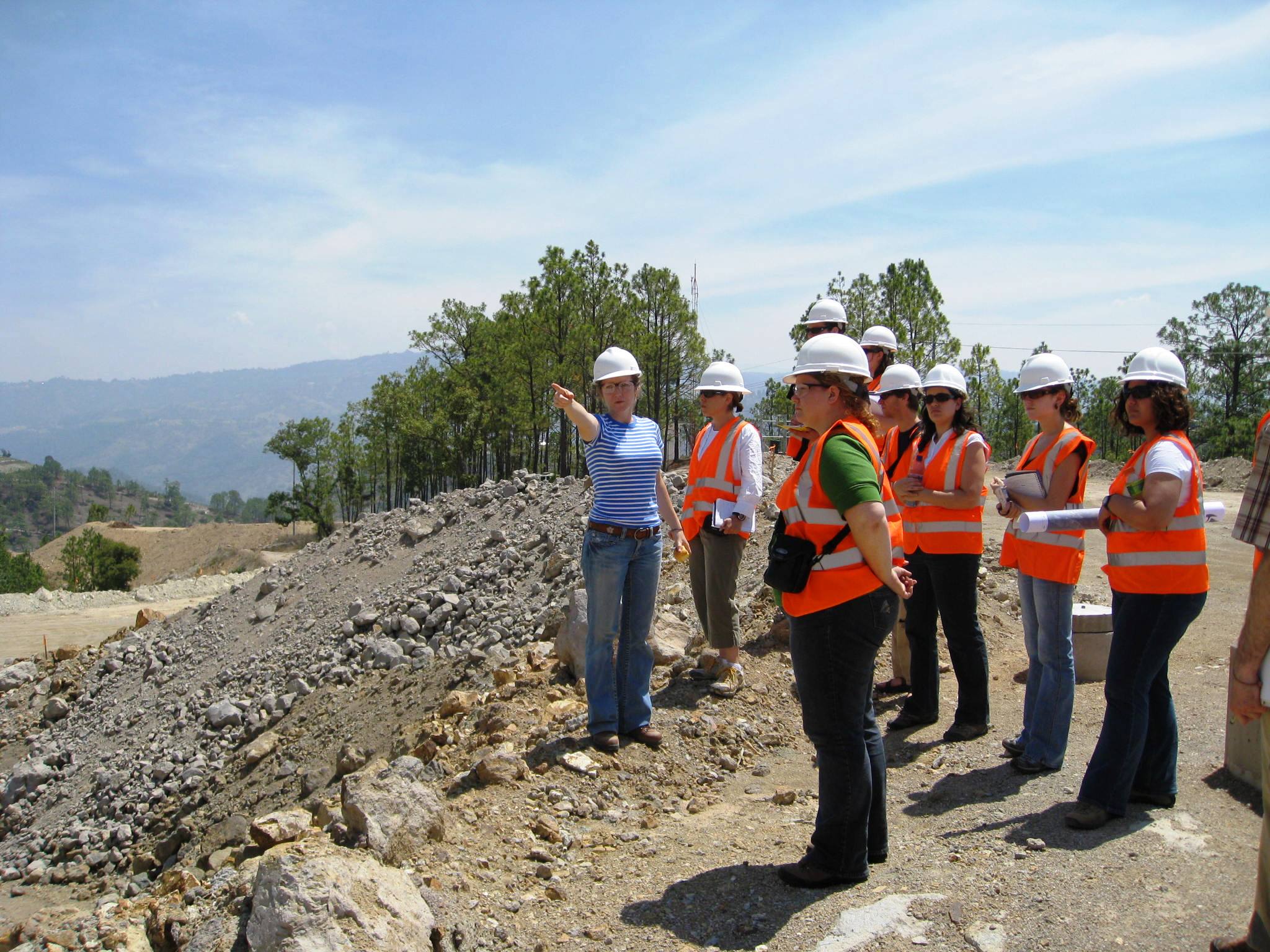
The dam at the tailings pond, currently 70m high, with an anticipated increase of 10 metres in height over the life of the mine.
We were told that it was constructed by the 'best engineers in the world' and that it is impermeable. These tailings will stay here
forever. However, the tailings pond will be dried up, filled in by waste rock, and then covered with topsoil.
"Once completed, the reclaimed site will have a 2-6% slope thereby preventing water percolation."
(Photo credit: JP Laplante)
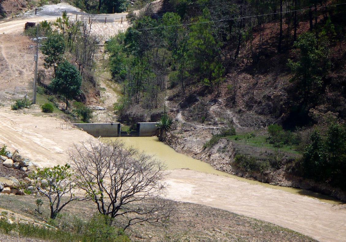
The group looked down at this water flow and asked Lisa what it was. This area is roughly 100m down slope from the tailings pond and is conspicuously identical in colour and appearance to the tailings pond. Lisa explained that this was an algae bloom. We asked if any of the water from the tailings pond had ever been released and Lisa stated that no tailing pond water has ever been released. To the extent of my knowledge, brown algae species can be found in marine and colder northern environments, but rarely in warmer climes. I have included a couple links on algae blooms and brown algae.
The open pit mine.
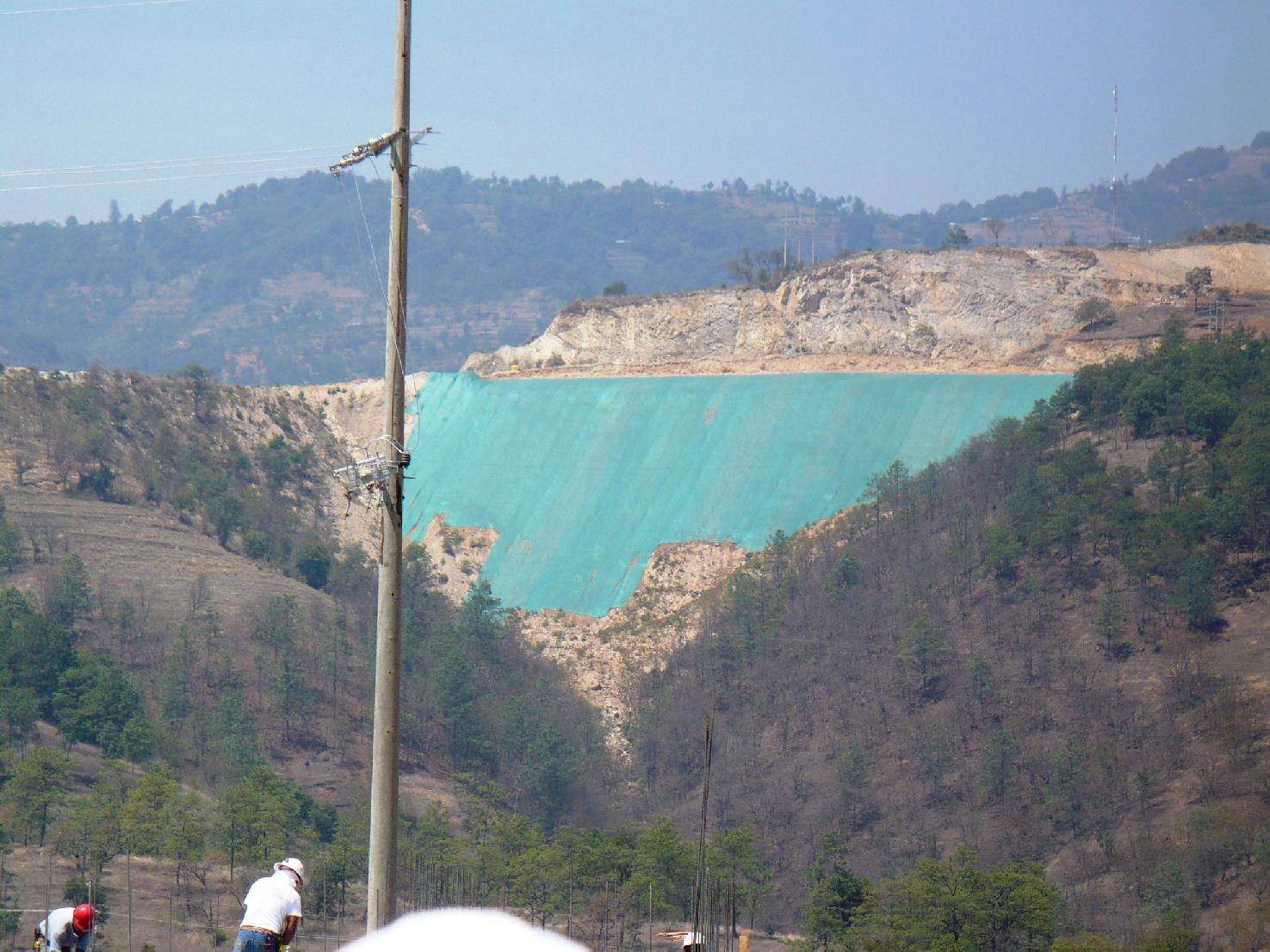
The blue-green material on this slope promotes grass growth in efforts to reduce slope erosion and promote slope stability.
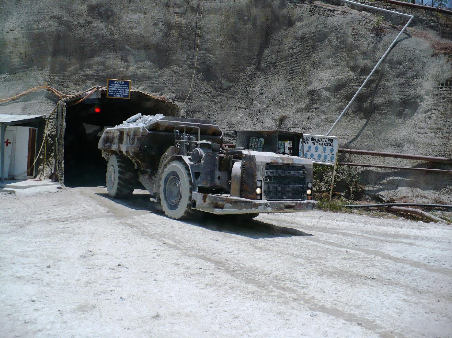
A truck leaves the underground portion of the mine with a load of ore. According to Goldcorp's website, the underground portion accounts for ~16% of the total ore removed at the mine.
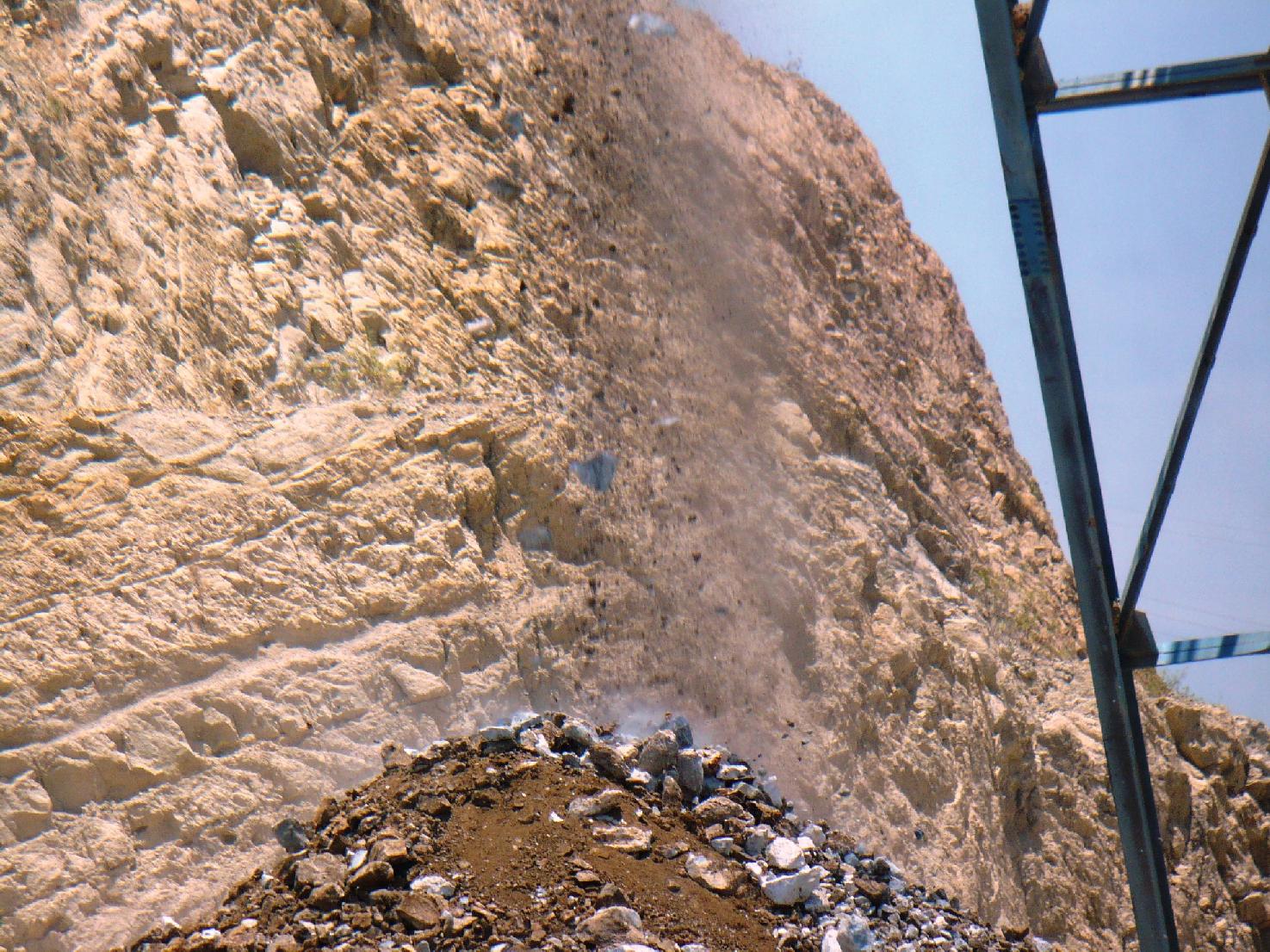
This is waste rock. Extracted ore that does not have sufficient concentrations of gold and/or silver is simply not processed and dumped.
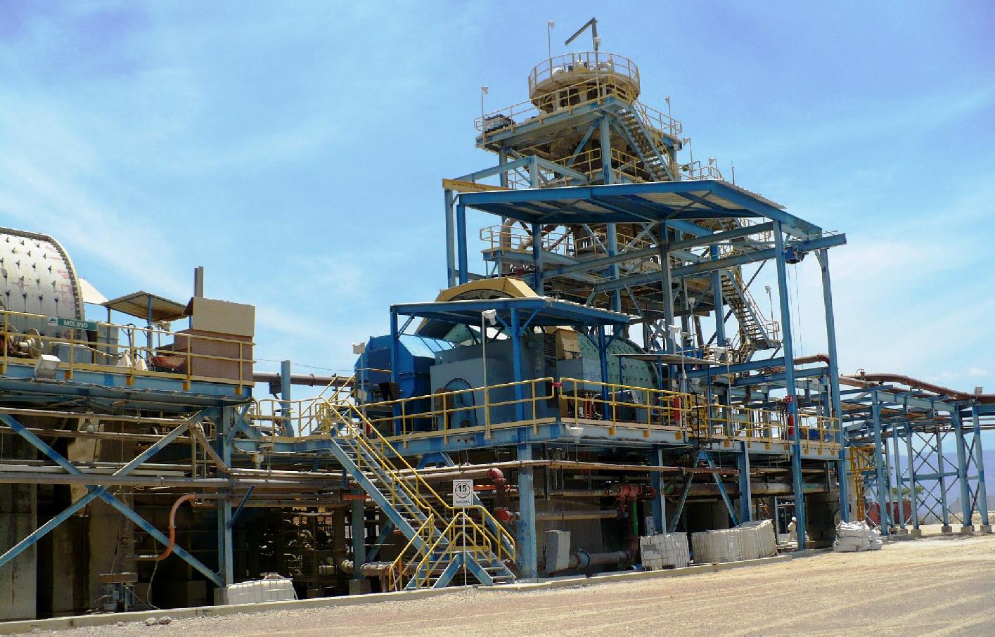
Ore is taken to this component of the mine and crushed into a consistency like that shown in the preceding picture. This material is tested and if it has sufficient gold/silver concentrations it is introduced to the grinding circuit. Here the material is milled using a grinding mill which spins the material alongside small steel balls pulverizing the material until it can be converted to slurry solutions.
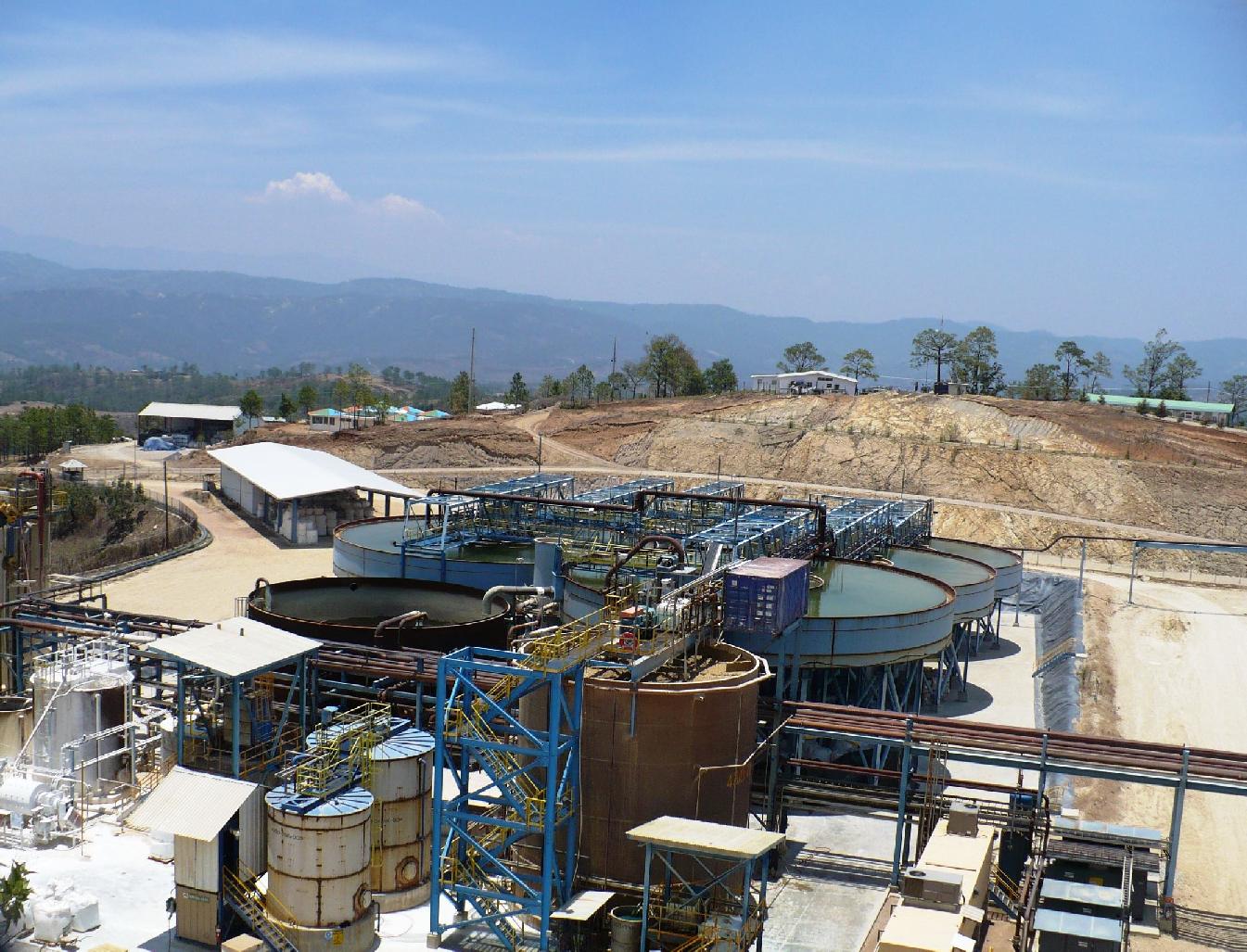
The slurry is boiled in the boiler (central bottom tank) along with cyanide.
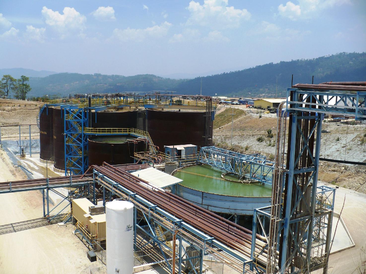
There are seven open air leach tanks where the gold and silver are extracted from the slurry.
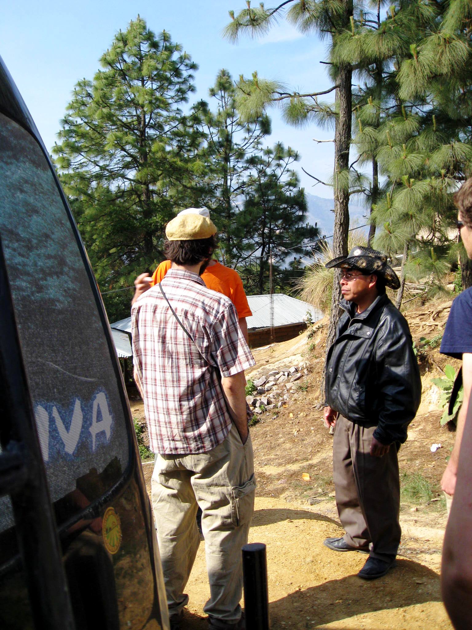
During our time in San Miguel Ixtahuacán we met with Javier de Leon, a community leader who is actively protesting the mine, who spoke about the environmental and health impacts that
community members allege that they are living with since the opening of the mine. The list of alleged harms is long:
- structural damage has occurred in both traditional and modern homes (93 homes recorded thus far). The company's response, a ludicrous one, blamed the people for
playing their music too loud and blamed the heavy trucks on the road due to road construction.
- 6 - 8 natural artesian wells have dried up. The company assured us that they obtain all of their processing water either from deep geothermal
sources, which are not connected to the artesian springs, or from the 85% of water which is recycled from the tailings pond. Note: a typical mining operation of this scale
uses 250000 L of water per hour, the equivalent of a Guatemalan family of 8 using water over 25 years.
- animals (goats and cows) which drink from the river Cuilco have died.
- people who bathe in the river are developing skin rashes.
- elderly and babies are also developing these rashes.
- violence has increased in the town resulting in 3 deaths in the past year and a half.
All of these impacts affect the health and wellbeing of all community members.
Javier brought us to meet with some families who have been impacted by the mining operations.
(Photo credit: Catherine Nolin)
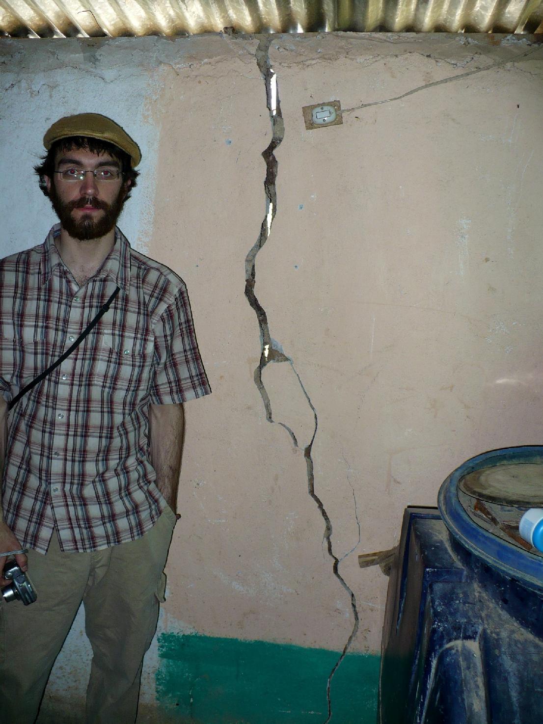
We visited the home of a local family in the community of San Miguel Ixtahuacán, who are situated in proximity to the Marlin mine. Since the development of the mine, massive cracks in the foundations and walls of their family home have formed. Several people of the local community attribute these cracks to the mining activities (currently, 59 homes have incurred similar structural damage). An excellent article in the August 2007 issue of Upside Down World, written by James Rodriguez and covering structural damages in San Miguel Ixtahuacán, can be found here.
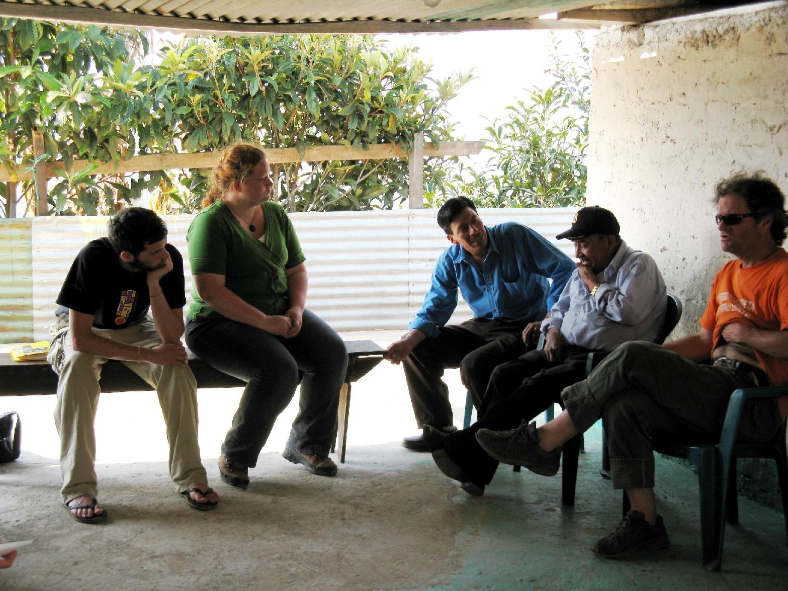
In the afternoon following the mine tour, Javier took us to meet Ematerio Perez who spoke to us about how he was persuaded
to sell his land which he had occupied for 70 years.
He was warned that he had to sell because there was
going to be trucks and a road going through, that if he did not sell they would be dumping on his land, and that all of his neighbours had already sold their land.
It was a time of substantial poverty. He
consented and sold his land for 4,000 quetzales ( approximately $3000 Canadian dollars per hectare)
for each cordel (a Spanish unit of length used to express a measure of land) where many of his neighbours sold similar areas for $40,000 quetzales. He asks "Why did they trick us?"
(Photo credit: JP Laplante)
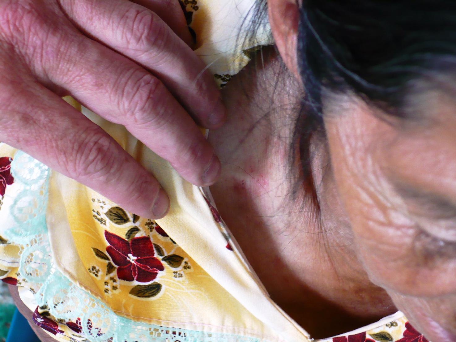
In this past year, his wife appears to have suffered a stroke and has developed a skin condition. Ematerio has spent $100,000 quetzales bringing her to doctors but they do not know what is wrong. Ematerio attributes her health problems to the stress of the forced (though minimally compensated) eviction.
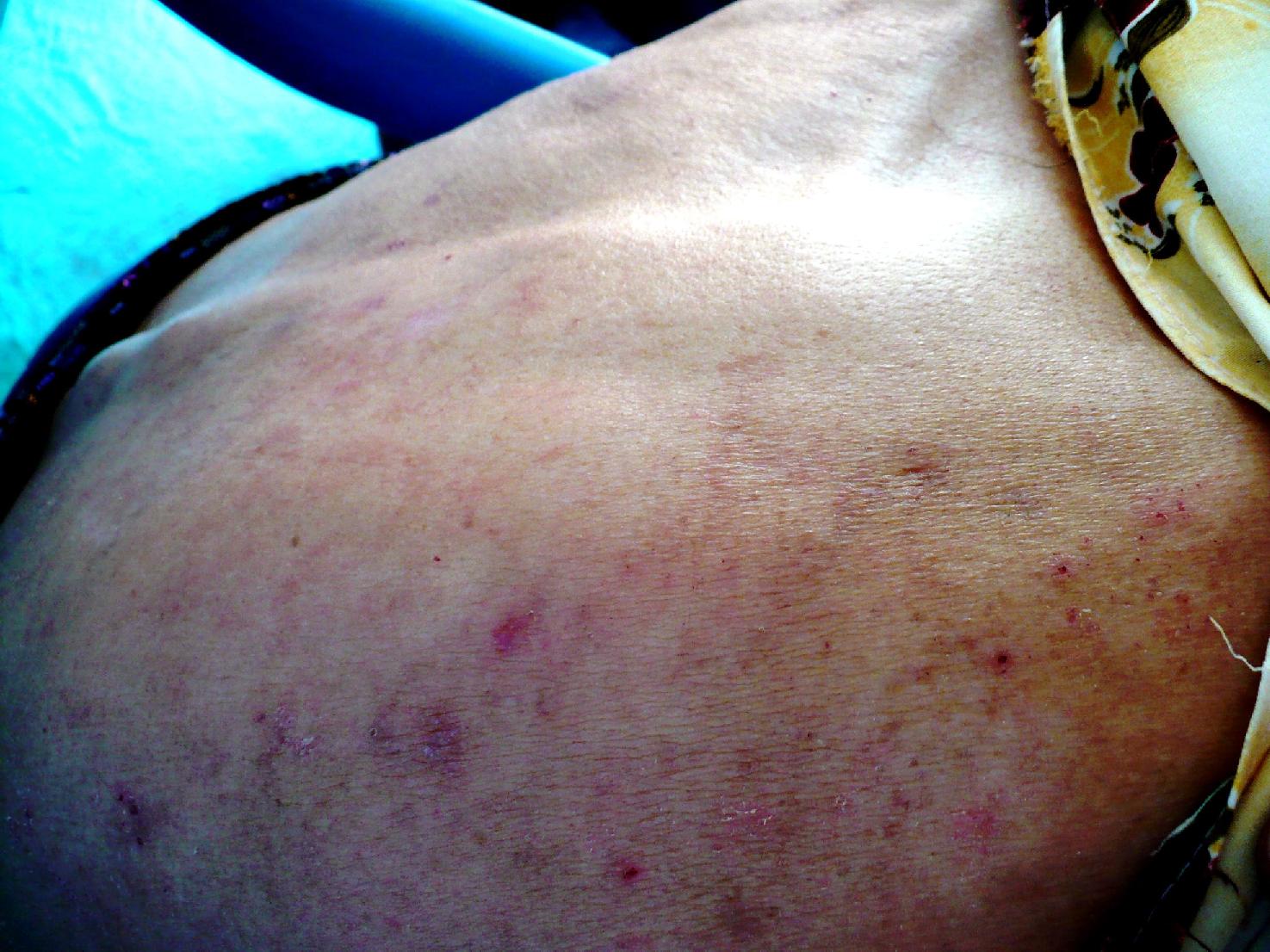
These rashes cover all of her body and when scratched they change colour.

Even newborns are developing similar skin conditions.
I was very concerned that this condition was relating to their water supply, possibly their drinking or bathing water.
The mine has only been in operation for three years, and I cannot
help but think to myself, if the mine's activities are the cause of this condition, what are the long term health effects
of the mine?
(Photo credit: Catherine Nolin)
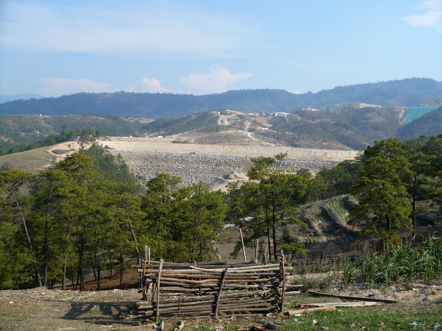
The view from the backyard of Ematerio Perez's residence featuring the immensity of the mine. After all that we have
experienced, I felt that this quote summed up the contradiction of the day best.
As Goldcorp's Lisa Wade states regarding the mine, "If they didn't want it, we wouldn't be here." Nathan Einbinder published an article featuring the mine visit and related impacts in the August 2008 issue of Upside Down World. To read Nate's article, click here.